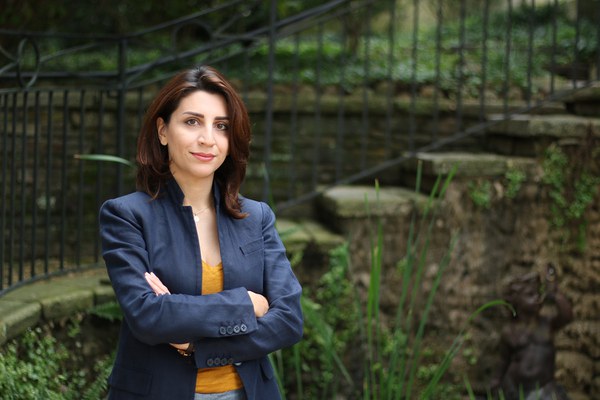
Sahar Hosseini, a researcher at the Center for Migration and the Global City at Rutgers University–Newark, is a Mellon fellow in Urban Landscape Studies. Her Mellon Midday Dialogue, “The Zayandehrud River Speaks: Reading the Riverine Landscapes of Seventeenth-Century Isfahan,” explored how the multiple roles the river played in Isfahan’s urban development and public life challenge our modern perception of urbanity and infrastructure.
Q&A with Sahar Hosseini
What makes the Zayandehrud River so captivating? How does studying it fill a gap in the scholarship?
In the 17th century, Isfahan was this grand capital, and Europeans who came to the city often compared it to Rome, Florence, and London. When Isfahan became the capital, the Safavid empire was at the height of its power, and there was a lot of competition going on with the Mughals in India and the Ottomans in Istanbul.
I have always been interested in the architecture and urban history of Isfahan, but my interest in its Zayandehrud River was actually sparked a few years ago, in part following the popular protest about the condition of the river, which was going dry. The Zayandehrud River is a central part of Isfahan’s identity. Not only does one read about it in historical accounts, but it is very much alive in the memory of the people. So I asked myself why the river is so important for these people. In most studies that have looked at river cities, the river is a throughway, a port, a source of food, and its liabilities are often the excess of water, for example, floods. But in Isfahan we are talking about scarcity of water. The Zayandehrud is seasonal, it is not navigable, and it is not a source of food.
Though the river’s role in providing water for the agricultural economy of Isfahan is established, no one has explored the other roles the river plays in the public life of the city. In a setting where water is so scarce and cherished, we see that the unnavigability of the river becomes an advantage: the surface of the river becomes an extension of public urban space.
Describe one unexpected way the river functioned in Isfahan: creating Christian-Muslim connections.
In the first decades of the 17th century, Shah Abbas I established a neighborhood for Christian Armenian émigrés on the south side of the Zayandehrud River. This was not a time when people of different religions mingled easily. The Zoroastrians also had their neighborhood on the south side of the river. So one could imagine the river as a border, separating the minority communities while keeping them close to the city.
But the story is not as simple as it sounds. We have detailed accounts by European visitors describing rituals around the river, which became a site of interaction. For example, on the day of Epiphany, Muslims came to watch the Armenians parading, baptizing their infants in the river, and jumping into the water to wash away their sins. The climax of the event was when the Muslim king arrived and collaborated with the priest to pour sacred oil into the river. This access to the river, which Armenians lost toward the end of the century, was a manifestation of their power and alliance with the king.
The fact that this event happened beside the river, which made it a shared space among the communities, makes me think that on these occasions the river was not a border anymore.
How does your research explore intersections of city and nature, a key focus of the Mellon Initiative in Urban Landscape Studies?
As physical manifestations of cities, buildings have long been the subject of urban analysis. In this approach, a river is considered a natural feature, not a human-made object. But now scholars are more interested in the environment. We realize cities are not limited to what is made by humans—nature has agency too. Differences between cities are sometimes related to their distinct natural contexts. The way people choose to shape their city is closely tied to their cultural perception of their natural environment; people living in hot and arid desert vs. in wet or flood-prone areas, for example, have a different perception of water, and therefore treat water quite differently. They imagine it differently, and often this comes up in their myths, literature, and oral traditions—and the way they build their cities. Our natural context influences the way we imagine, and therefore intervene in and shape, our environment.
The Zayandehrud River blurs the boundaries between nature and urban, allowing us to see how this binary is arbitrary, and a 19th-century construct that should be challenged. In 17th-century Isfahan, people began to use the river as an extension of urban space. Bridges are a great example. Their design allowed people to engage in activities that often happen in urban settings: sitting, hanging out with friends, drinking coffee, and socializing. But because of their position in the middle of the river, bridges also allow people to enjoy nature. We hear about the breeze, water features, contemplation, etc. The boundaries blur. The surface of the river actually becomes urban space.
In the modern sense of infrastructure, a bridge is supposed to allow you to pass across rivers. But it can be more than that. It can be multifunctional. When we understand urbanities in the past, we can challenge our current custom of thinking in terms of city versus nature.

