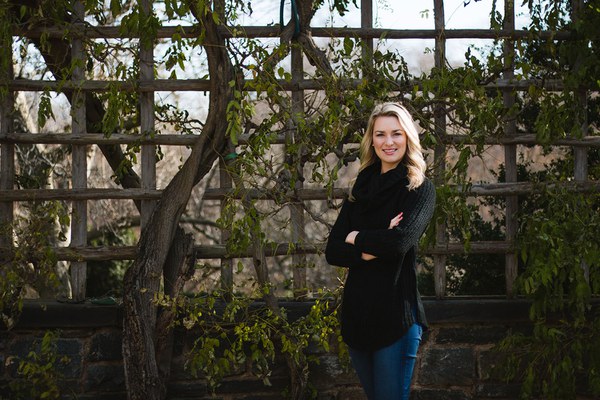
Sarah Klassen, a postdoctoral fellow at the University of British Columbia, Vancouver, was a Mellon Fellow in Urban Landscape Studies in fall 2018. Her Mellon Midday Dialogue, “Agro-Urban Environments and Implications for Resilience in Medieval Cambodia,” assessed the risks and benefits of large centralized water management features in times of climate change and social upheaval.
Q&A with Sarah Klassen
How does lidar (light + radar) help reveal hidden landscapes in medieval Cambodia?
Lidar equipment emitting pulses of light is flown over densely vegetated areas. Some of those pulses make it all the way down to the ground, then return to the lidar device. By measuring the amount of time this takes, you can get high-resolution elevation measurements. If you have at least a few pulses of light for every square meter, you can reveal the underlying ground surface—which was hidden and disguised by the dense vegetation—in pretty specific detail.
The critics would say it’s only for mapping. Even if that were true, lidar is extremely valuable—way easier than traditional survey methods, given the type of archaeology and landscape in this region of the world. But we’ve taken it a step further, as I demonstrate in my research, to measure and quantify different features of the landscape.
For example, I studied two medieval Khmer cities, Angkor and Koh Ker, to evaluate the resilience of their water management systems. Angkor successfully navigated two periods of drought, but a third drought coincided with the decline of the city. Koh Ker had changing social needs when it became the capital of the Khmer empire for approximately 16 years and made massive changes to its water management system during this time.
I looked at changes made in both water management systems leading up to that third period of drought at Angkor and when Koh Ker became capital. There seems to be a connection between large centralized water management features and large populations of nonproducers living in densely occupied areas. It’s very similar to what we’re seeing in cities today.
Large centralized water management is good because the urban areas can amass larger populations and grow more rice. But it also introduces risk. For example, at Koh Ker, water was stored equally between state and local features until the construction of a dike, which then stored over 85% of the system’s water. So when the dike failed, it undermined the ability of the system to provide water. Evidence for the failure of the dike wasn’t clear or obvious before the lidar data.
How can artificial intelligence tools help answer archaeological questions?
In the greater Angkor region, there are about a thousand small temple communities. I had a database with 1,400 temples, but only 139 of them had dates. To understand what the water management system looked like over time, especially how many reservoirs were functioning and being built in any given period, it was really important to be able to get dates for those temples and their associated reservoirs. I had a lot of other attribute data—building materials, morphology, orientation, some artifact types—collected by specific surveys over the last hundred years. I compiled those preexisting data sets into one database.
I initially conducted a lot of traditional statistical analyses, but the problem with something like multiple linear regression is that you needed a complete data set. It actually worked pretty well, but only for around half the temples.
Semisupervised machine learning (a form of artificial intelligence) allowed me to use all my data regardless of whether it’s complete. Using this method, I was able to date the temples with an average absolute error of 49 to 66 years. The error of carbon-14 dating, for example, is 50 years.
Machine learning is so applicable and valuable for archaeology because we have these massive data sets. But they’re incomplete: attribute data are missing. I think in the coming years machine learning will become more and more common in the world of archaeology.
How does your research push us to think about urbanism in new ways, a key focus of the Mellon Initiative in Urban Landscape Studies?
This research, as well as the research I’m doing as part of the Cambodian Archaeological Lidar Initiative (CALI), reveals dense urban landscapes in medieval Cambodia. We can see densely occupied spaces with very clear urban forms and city blocks, to make an analogy to contemporary systems.
This makes us question the nature of urbanism in medieval Cambodia. Are these dense areas stand-alone cities? There seems to be a clear division between two settlement patterns: the densely-populated areas and the temple communities highly engaged in agriculture in the more peripheral regions.
We’re currently working toward defining the boundaries for these sites, which is a major issue for contemporary cities as well. Where do you draw the line around Washington, DC? It’s relatively arbitrary. Hopefully we can get to the point where we’re not drawing arbitrary lines around sites and cities, but using metrics that reflect actual urban growth and development.
Julia Ostmann is Postgraduate Writing and Reporting Fellow at Dumbarton Oaks. Photo by Elizabeth Muñoz Huber, Postgraduate Digital Media Fellow.

