In December 2013, the Garden and Landscape Studies Program hosted two informal talks, both of which showed an impressive range of approaches to and perspectives on the topic of urban landscapes.
Peter Harnik, Director of the Trust for Public Land's Center for City Park Excellence, addressed the challenges facing the creation and management of contemporary park systems. This was a topic he also addressed in his most recent book, Urban Green: Innovative Parks for Resurgent Cities (Washington, D.C.: Island Press, 2010), which was named one of the five best books of 2010 by the American Society of Landscape Architects’ blog). Harnik, a nationally recognized authority on urban parks, promoted numerous environmental efforts concerning transportation, energy, and solid waste. His previous book, Inside City Parks (Washington, D.C.: The Urban Land Institute, 2000), explored the history and politics of the park systems of twenty-five leading U.S. cities, looking not only at park design, but also at the politics of park creation and renewal. He is a cofounder of the Rails-to-Trails Conservancy and the Coalition for the Capital Crescent Trail and has been a long-time board member of the City Parks Alliance, the Washington Area Bicyclist Association, and Smart Growth America.
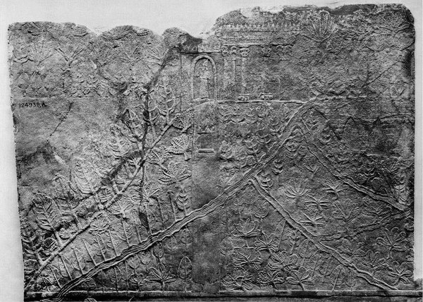
Jason Ur, Associate Professor of Social Sciences in the Department of Anthropology, Harvard University, and recipient of the Dumbarton Oaks Project Grant in Garden and Landscape Studies for the 2013–14 academic year, presented a paper entitled “Landscape Planning in the Core of the Assyrian Empire, ca. 900–600 BC.” Ur is an anthropological archaeologist specializing in early urbanism and cultural landscapes in the ancient Near East. His research has focused on the impacts of early urban communities on their landscapes using field survey and satellite remote sensing techniques, in particular declassified intelligence satellite photographs. In Syria, he has directed or participated in surveys around the major Bronze Age cities of Hamoukar, Tell Brak, and Tell Beydar, with emphasis on their spatial dimensions, agricultural systems, and communications networks. His remote sensing studies have mapped the extent of imperial irrigation systems in northern Iraq and northwestern Iran, and have revealed pastoral nomadic landscapes in Iran and southeastern Turkey. He has published Urbanism and Cultural Landscapes in Northeastern Syria: The Tell Hamoukar Survey, 1999–2001 (Chicago: Oriental Institute of the University of Chicago, 2010) and is currently working on another book, The Evolution of Mesopotamian Cities.

