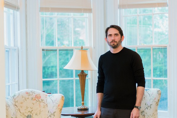
Bradley Cantrell, chair and professor of landscape architecture at the University of Virginia, gave a guest lecture under the auspices of the Mellon Initiative in Urban Landscape Studies in spring 2019. His Mellon Midday Dialogue, “Choreographing Topography,” discussed how real-time sensing technologies could change landscape architecture and regions like the Mississippi River Delta.
Q&A with Bradley Cantrell
Much of your research has concerned the Mississippi River Delta. Why does it matter that the delta is dying?
The Mississippi delta is important for multiple reasons. It’s the watershed for much of North America, draining nearly 40% of the continent. It's also a huge generator of the US economy. A large percentage of agricultural goods from the Midwest are shipped through the river delta, which is also involved in oil exports and refineries. The delta is also this ecologically rich part of North America. There’s nothing else like it. The Mississippi River Delta has its own ecology, species, all of that. And finally, the deltaic landscape is a place where a unique culture has developed over time, from early indigenous societies to today.
The death or change of the delta, however you want to frame that, is due to a couple of different issues. One is the need to control the river for shipping and for public safety (in terms of flooding). That’s been done through levees—but the levee system has essentially cut off the river water from the delta itself, starving it of nutrients and sediments. That process, along with a range of other pressures like the canals that have been cut through the delta and the exploitation of oil, is causing the delta to recede.
The work I was doing at Louisiana State University, and then developed more earnestly at the Harvard Graduate School of Design, was thinking about the landscape architect’s role in a whole range of new technologies around sensing and monitoring in the environment. Focusing on the Mississippi River Delta, we thought about feedback loops and how real-time data from the environment might be used to rethink infrastructure. We were looking for proofs of concept: What are ways we can work in the lab that then teach us about large-scale landscapes? What kind of digital or computational tools come out of that work and allow us to understand, modify, and maintain these landscapes over time?
Learning how to better understand and manage landscapes is a key goal of the Mellon Initiative in Urban Landscape Studies. Why do you talk about “choreographing,” rather than controlling, landscapes that affect urban areas?
The language we use to talk about how we interface with systems like the delta—words like choreograph (or curate or nudge)—suggests that the delta or the ecosystem has its own agency. It can do something. And rather than simplifying it, finding mechanisms to control it, what we’re really doing is starting to think about design and landscape architecture as a call and response with the ecosystem. Human needs are met, but the needs of the ecosystem and other species are also met.
For landscape architects, our pathways of building have been about gathering as much information as possible to make a very precise and complicated model and then make proposals about large-scale infrastructure. But that model doesn’t hold the complexities of the ecosystem. What’s changing in the way landscape architects are thinking is a new focus on smaller-scale intervention that can lead to larger-scale change. By building feedback mechanisms into ecosystems, we can begin to understand their directions. When we’re talking about choreography, it just means we’re helping ecosystems move in directions that are more healthy or ecologically fit.
Why should landscape architects work with engineers, computer scientists, and new digital tools?
I believe in our profession. I believe in the way we’ve been trained to see the world as landscape architects: looking at what it means to be human in relationship to all these other species, biologies, geologies. When a landscape architect looks at something like infrastructure and the management of a river system, the project is not only about control and safety. A cultural layer is added. We don’t just think about saving the environment, we think about engaging it.
For landscape architects, for designers, for society in general, computation has allowed us to see phenomena in the world that we might not have seen before, and then analyze those phenomena in new ways. In the past, we took our analogue tools and recreated them digitally. Now we’re at a point where we’re actually imagining tools we’ve never thought of before—beyond cartography, beyond modeling, to whole new ways of thinking about computation. Landscape architects need to not just take the tools built for other disciplines but work directly with computer scientists and engineers and say, what should our path be? What are the tools we need? How do those tools help shape our discipline?
Julia Ostmann is postgraduate writing and reporting fellow at Dumbarton Oaks. Photo by Elizabeth Muñoz Huber, postgraduate digital media fellow.

