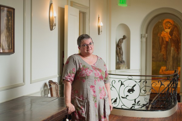
Zeynep Kezer, professor at Newcastle University, is a fellow in Garden and Landscape Studies. Her recent research report, “Engineering Eastern Turkey: People, Place, and Power in the Upper Euphrates,” illustrated efforts to control Eastern Anatolia by reconfiguring the landscape.
Q&A with Zeynep Kezer
How did two regions you study, Tunceli and Elazığ, diverge starting in the early Turkish republic?
The two are not very far apart, today about an hour-and-a-half drive between their provincial seats. What makes Tunceli fascinating is that it is surrounded and crisscrossed by mountains. This made accessing the area very difficult. It meant you couldn’t have supply chains, you couldn’t bring your soldiers, there were no roads. In fact, the whole of Eastern Anatolia is still on the fringes of the physical center of power. When the Ottoman Empire crumbled, the consequences in this region were particularly violent. People escaping all kinds of persecution hid in mountainous areas like Tunceli—and still do today.
Elazığ, to the south, is significantly flatter and became a sort of stronghold for the state over the decades. The administrative, institutional, and military apparatus of the state was condensed here: a huge basin for the state waterworks, highway construction, and, very early on, a military airport from which to surveil and bomb Tunceli.
The accumulation of state assets in Elazığ intensified while Tunceli was imaginatively constructed as its uncivilized counterpart. In the late 1920s and 1930s, government officers spoke of Tunceli as an abscess, an internal border within the country, needing to be colonized and transformed.
Once you carve an area like Tunceli into a separate province, it starts diverging in its identity. In the Dumbarton Oaks Library, I was very happy to find this atlas with maps from the 1950s. They show the landscape before the theretofore largest dam in Turkey was built in the 1970s, flooding the river between Tunceli and Elazığ and physically reinforcing the conceptual separation. Before the dam, nomadic peasants could cross the river at certain points with their sheep. Now, that’s no longer possible. The shortest crossing is about 20 minutes on a ferry.
Today, the ferry landings for the journey between Tunceli and Elazığ are under very high surveillance, and there are lots of checkpoints—some functional, some on standby, ready to be deployed at any moment. Even if you’ve done nothing wrong, you feel intimidated. In the 1990s, if you had a certain amount of flour or sugar or tea at the checkpoints, that was taken from you, because the suspicion was that you might be carrying food to support terrorists, in a place where the definition of a terrorist is highly contested.
Why “tell the story of the making of modern Turkey from the margins,” as you put it in your talk?
One reason is that where state capacity is lacking, the rigidity and harshness with which certain rules get implemented magnifies. Most people in the western parts of Turkey, like me, didn’t learn anything about this history. We need to understand the cost of trying to achieve homogeneity.
Another reason is that there’s a tendency to focus on political history. But that focus ignores the profound transformation of the physical landscape as a result of seemingly abstract political negotiations—when the rubber meets the road. After World War II, when Turkey became part of the American sphere of influence, there were dams (including the one between Tunceli and Elazığ) and road-building projects with significant environmental impacts. Looking at the landscape is a way of understanding the material consequences of nation building.
Also, focusing on the physical environment helps desegregate the history of a region. Spaces, objects, and places are used by multiple groups of people. Elazığ historically had a very large Armenian population, many of whom perished in the Armenian genocide. Many abandoned properties were re-appropriated by the state or their supporters. For example, a row of townhouses that belonged to five Armenian brothers who were prominent silk producers in Elazığ has an odd, meandering history.
Although it was eventually torn down to build high-rises, the area is still called Five Siblings—as if haunted by its previous life.
When you go to the margins, to things people aren’t paying attention to because they are not prettified or nicely framed, a lot of the untidiness, the resistance, the difficulties, the physical and human consequences, become quite evident. Things in the periphery reveal clues not available elsewhere.
What discovery did you make in the Dumbarton Oaks Library?
When the Ottoman Empire went bankrupt in the late nineteenth century, a debt administration was imposed on them to regulate the treasury and tax collection. Vital Cuinet, a French geographer, who was put in charge of this agency, produced several volumes about the Ottoman Empire. In the library, I discovered in the first volume a letter written by Cuinet himself to Charles Barbier de Meynard, a French Orientalist historian! There are gems from the nineteenth century like this in the library.
Julia Ostmann is postgraduate writing and reporting fellow at Dumbarton Oaks. Photo by Elizabeth Muñoz Huber, postgraduate digital media fellow.

