Maps and Plans
Rare Books Archival Collections Online Exhibits Publications External Resources Related Content
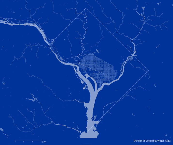
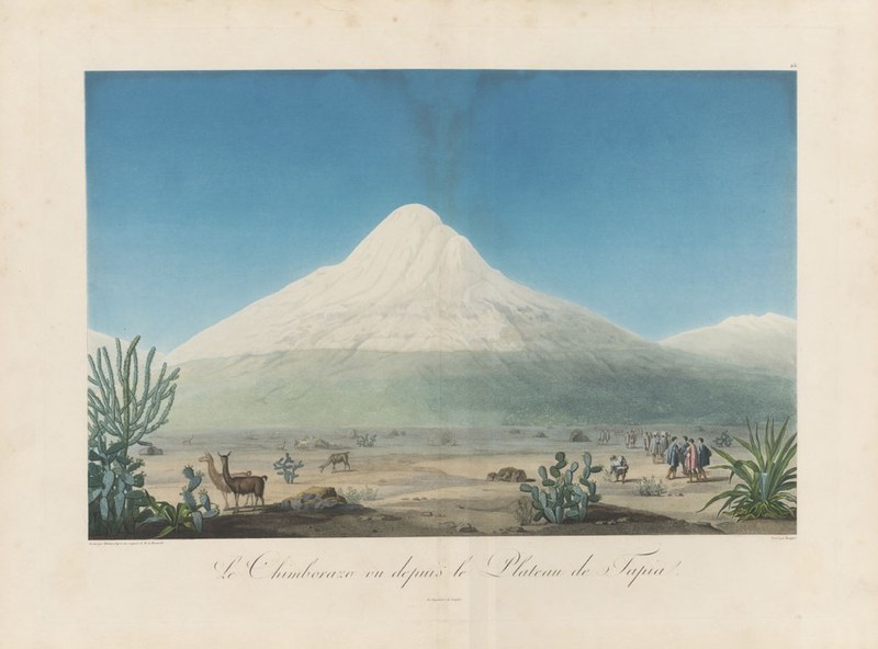
Historically, maps did not merely serve to record and share geographical information, but played a vital role in such diverse contexts as antiquarian scholarship, territorial administration, colonial enterprise, and scientific exploration. Dumbarton Oaks holdings are particularly rich in cartographic materials pertaining to the Eastern Mediterranean and the Americas, which range from Charles du Cange’s printed rendition of Cristoforo Buondelmonti’s 1422 plan of Constantinople to Alexander von Humboldt’s chart of the vegetation and climate zones of Mount Chimborazo in Ecuador or the engraved Carte de la province de Quito au Perou included in the travel journal of Charles-Marie de La Condamine.
Land surveying was an instrument of property management and taxation, as indicate eighteenth-century cadastral maps of the Carmelite nuns of Pastrana in Spain or the analogous records of the Jesuit novitiate of San Salvatore in Florence. In addition to plans of the royal gardens at Kensington, Richmond, and Kew (as well as Wilton, the property of the Earl of Pembroke), estate maps by the celebrated French-born cartographer John Rocque include a manuscript survey of Rathangan in Ireland produced for the Earl of Kildare.
The greatest early modern cartographic feats, however, were aimed to satisfy the curiosity of Grand Tour travelers, as exemplified by Johannes Blaeu’s Theatrum Civitatum et Admirandorum Italiae, originally produced in two volumes with the additional third one highlighting the attractions of Naples and Sicily. Books of city vedute also featured maps, either produced separately—as in the case of Ferdinando Ruggieri’s plan of Florence—or as part of the original set, as in Peter Schenk’s views of Amsterdam.
The potential of cartography as a tool of urban renovation was fully realized in the twentieth century, as testify the 1934 surveys and charts of the Slum Clearance Committee of New York. Earlier maps depicting projected park and parkways on the south side of Buffalo, NY, and a proposed park system for Kansas City, MO, reveal the strengthening links between landscape design and urban planning. Also well represented in the collection are maps and plans contained in souvenir books for the newly created urban parks, particularly the Central Park, annual reports of park commissioners, and informational booklets released by the US National Park Service.
Searching for Materials in HOLLIS
To quickly locate cartographic materials in HOLLIS, select Maps from the “Resource Type” dropdown list on the “Advanced Search” page.
To locate maps in books or other publications, search by subject heading or look for the following terms in the description field in an item’s catalog record:
maps, plans; (incl. maps, plans)
chiefly maps
col. maps
map (folded); fold. map; folded map
Digitized Rare Books

Archival Collections
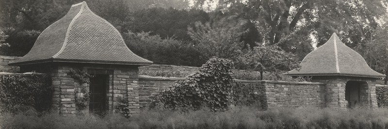
The Dumbarton Oaks Garden Archives makes publicly available over six thousand individual pieces of correspondence, drawings, and photographs related to the development of the Dumbarton Oaks Garden, including maps of the garden and planting plans.
The Dumbarton Oaks Archive’s Architectural Plans and Drawings collection includes proposals and “as-built” designs and plans for renovations to the historic house, its orangery, and other outbuildings, as well as designs and plans for new construction, especially service buildings and museum and library additions at Dumbarton Oaks.
Online Exhibits
Explore highlights from the collection related to maps and plans below, or view all online exhibits.
Publications
Discover featured titles related to maps and plans,or search all titles from Dumbarton Oaks Publications.
External Resources
The City Maps and Urban Environments exhibit on Harvard Digital Collections allows users to explore maps of urban design, artistic prints, and urban planning documents from around the world. The exhibit contains images of hundreds of maps, from the sixteenth century to the present, scanned from the Harvard Map Collection.
Thousands of maps from the Harvard Map Collection have been scanned and are available through Harvard Digital Collections. Particularly well represented are maps depicting Boston and Cambridge, New England, New York, London, Paris, and Japan. Maps can be searched individually or through thematic groups such as navigational atlases, the American Civil War, and colonial North America.
The Geography and Map Division of the Library of Congress is the largest and most comprehensive cartographic collection in the world. The library’s collections contain over 5.5 million maps, 80,000 atlases, and a large number of cartographic materials in other formats. Digitized maps are available through the Library of Congress’s website and can be searched individually or through curated collections.
The Norman B. Leventhal Map & Education Center at the Boston Public Library is one of the largest cartographic collections in the United States, with a particular strength in maps and atlases from New England, the American Revolutionary War period, nautical charts, and world urban centers.The collection is global in scope, with materials dating from the fifteenth century through the present. Over 10,00 maps from the collection have been digitized and are available online.
The John Carter Brown Library is an independently funded research library located on the campus of Brown University. The library’s collection has increasingly emphasized indigenous language materials and other sources related to America’s earliest indigenous inhabitants. High resolution images of the library's archive of early American images and extensive map collection are available through LUNA, and scans of over 10,000 full books are available through Internet Archive.
The Japanese Historical Maps Collection contains 2,298 early maps of Japan, including 697 woodblock-print maps dating from the Tokugawa period (1600-1867). The collection was acquired by the University of California from the Mitsui family in 1949, and is housed on the Berkeley campus in the C. V. Starr East Asian Library. Part of the collection has been digitized through LUNA, and historical maps of Tokyo, Osaka, and Kyoto can be viewed as overlays in Google Maps and Google Earth.
The Caribbean Maps digital collection at Leiden University consists of around 300 printed and hand-drawn maps and atlases. The maps date from the sixteenth to twentieth centuries and depict Central America and the Caribbean, with an emphasis on the Netherlands Antilles.
Related Collection Strengths
Learn more about other collection strengths that may contain materials of interest to this research topic, or view all collection strengths.

Related Content
Discover related news, resources, and opportunities at Dumbarton Oaks.